 |
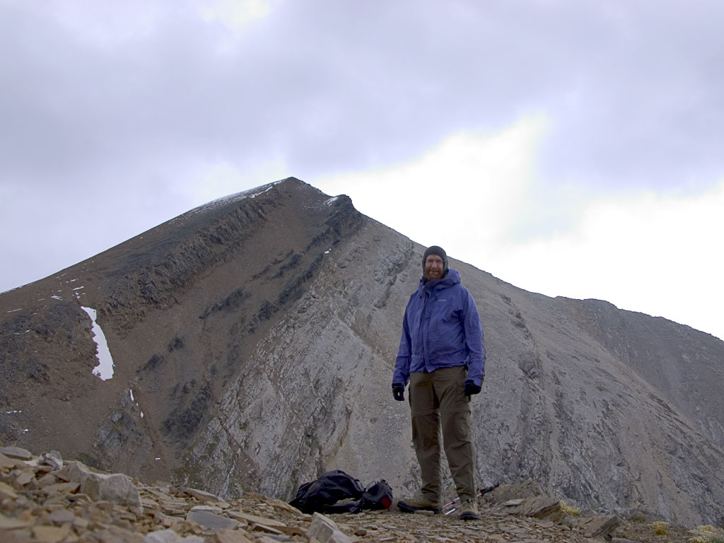
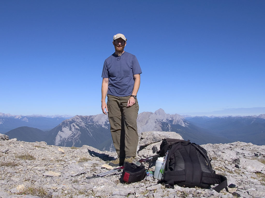
The day started out dreary, overcast with drizzle. I decided to drive and explore a bit but by early afternoon I was feeling "cooped up" in the car. I was at Maligne Lake and decided to pick a hike there. The Opal Loop trail seemed a good choice -- not too long, a bit of elevation gain and possibly good views if the weather didn't get worse.
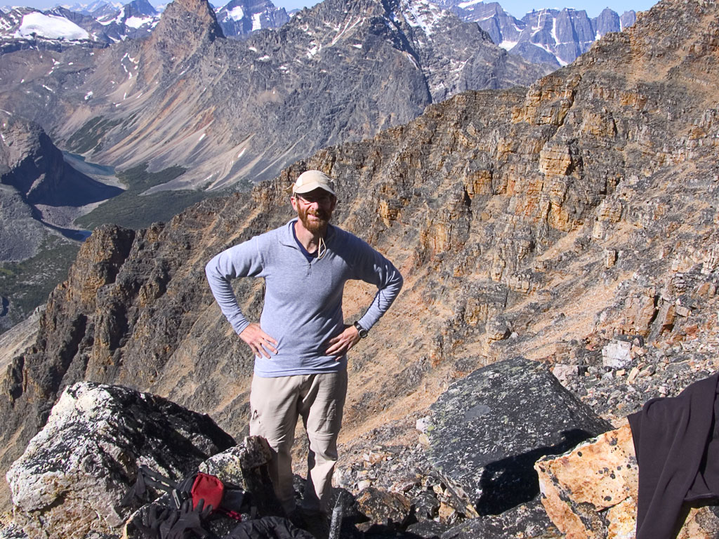
The weather held steady and I "topped out" at 8250ft on the ridge up to Opal Peak (behind me in the photo). I didn't go further because I know how fast weather can turn from mediocre to disastrous. |
|||
 |
 |
|||
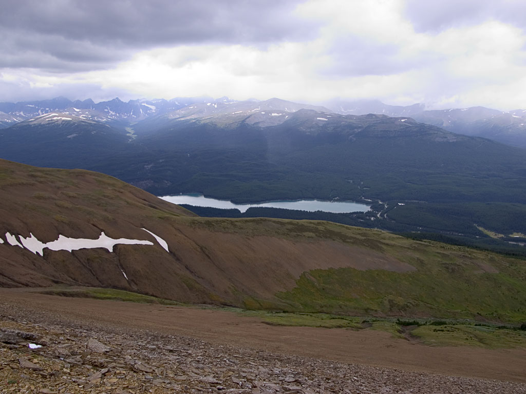
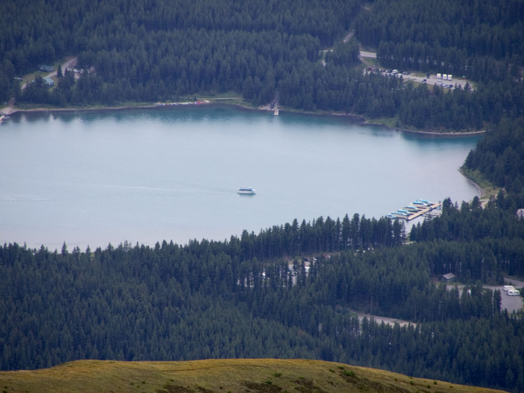
| That's the view back down to Maligne Lake and the tour boats there.. | ||||
 |
 |
|||
|
||||
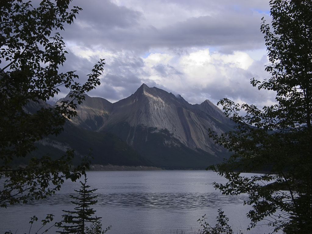 |
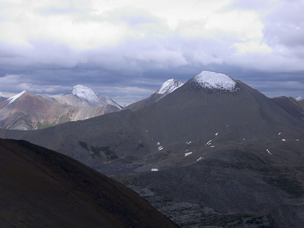
On the drive back to Jasper the weather finally started to clear. This is the view South across Medicine Lake to Queen Elizabeth Range. | |||
 |
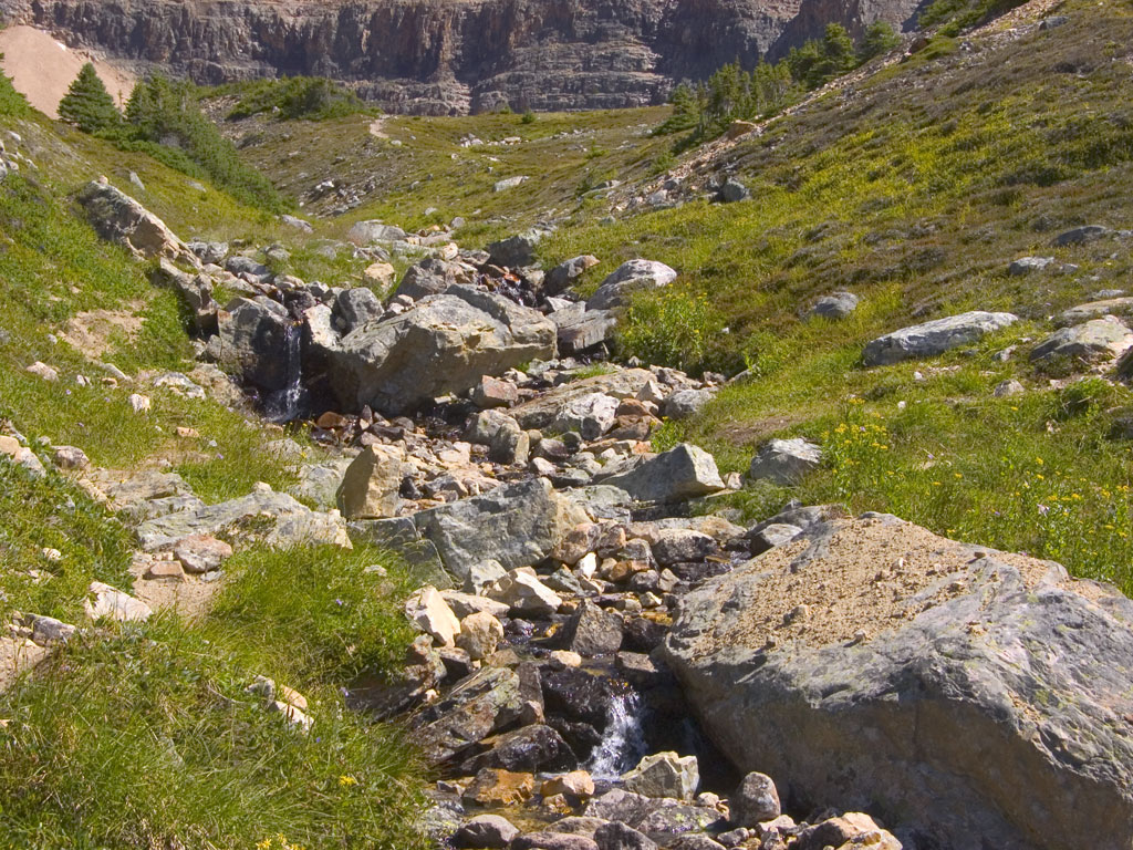
Today I planned to scramble up Mt. Utopia near Meitte hot springs. Again, I awoke to the sound of rain falling. I shopped in town and then drove out to the trail head to explore the hot spring. On the way back I checked out other trail heads and did a couple short hikes.
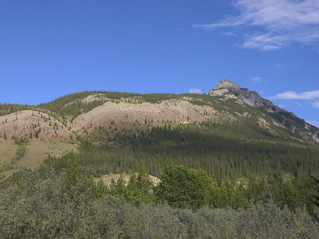
By the time I got to the Merlin Pass trail head the weather started to clear so I decided a scramble up Cinquefoil Peak (at left) would do with my shortened day. |
|
 |
 |
|
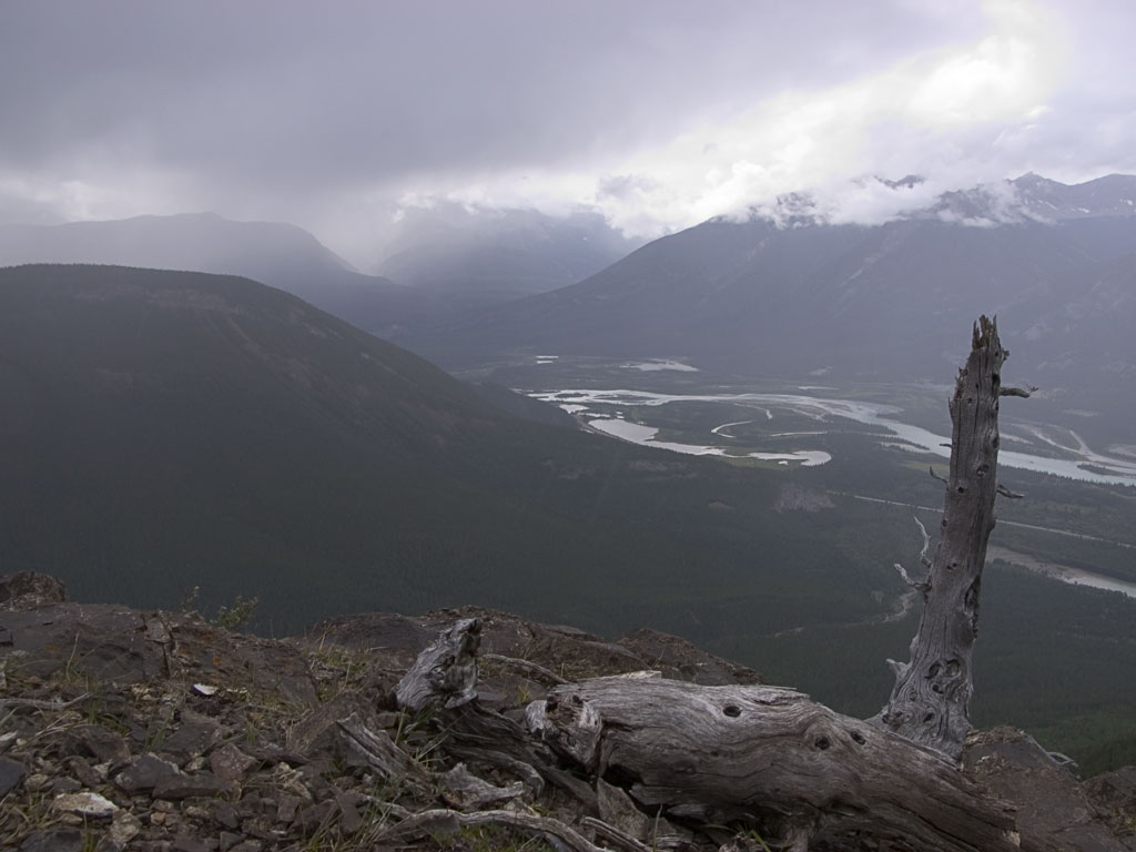
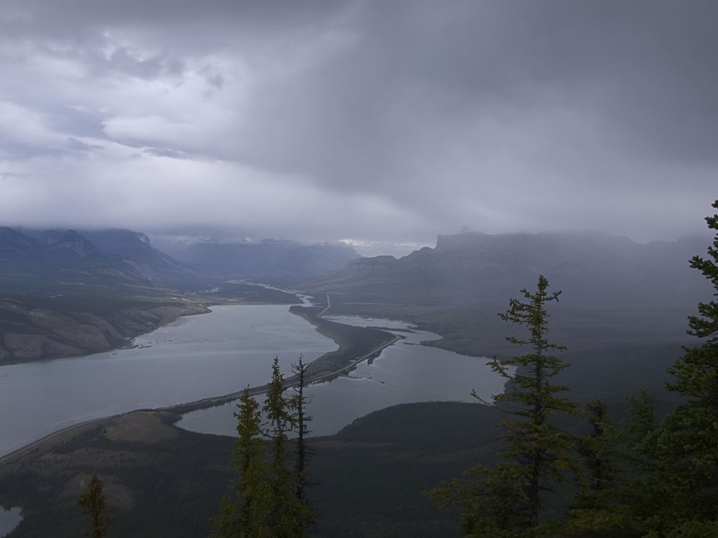
| The good weather didn't last and soon I found myself 800 feet below the top trying to keep dry. | 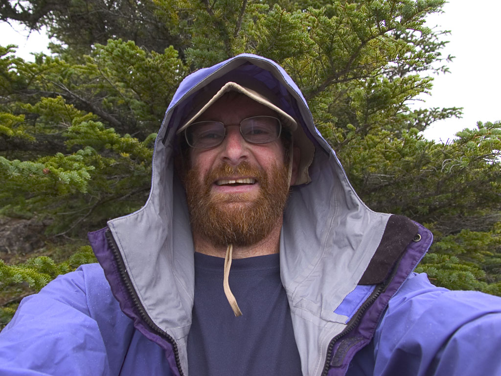 |
|
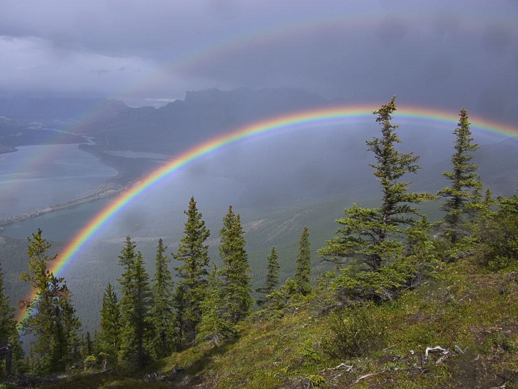 |
That rain passed but left the most gorgeous rainbow in its wake (notice the faint double). | |
| The sun came back out hotly so I decided to stay put and dry myself and my gear. An hour after the rain passed you'd never know it was anything but a perfect day... | 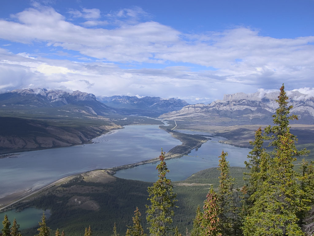 |
|
Day3: August 14
 |
I decided to take today a little bit easier and what do you know? The weather turns out PERFECT!
After some morning chores I spent a short time railfanning, then drove out to find the trail head for the East Ridge of Edith Cavell which John and I plan to do Thursday. Oh, by the way, John still hasn't made it here. |
|
 |
||
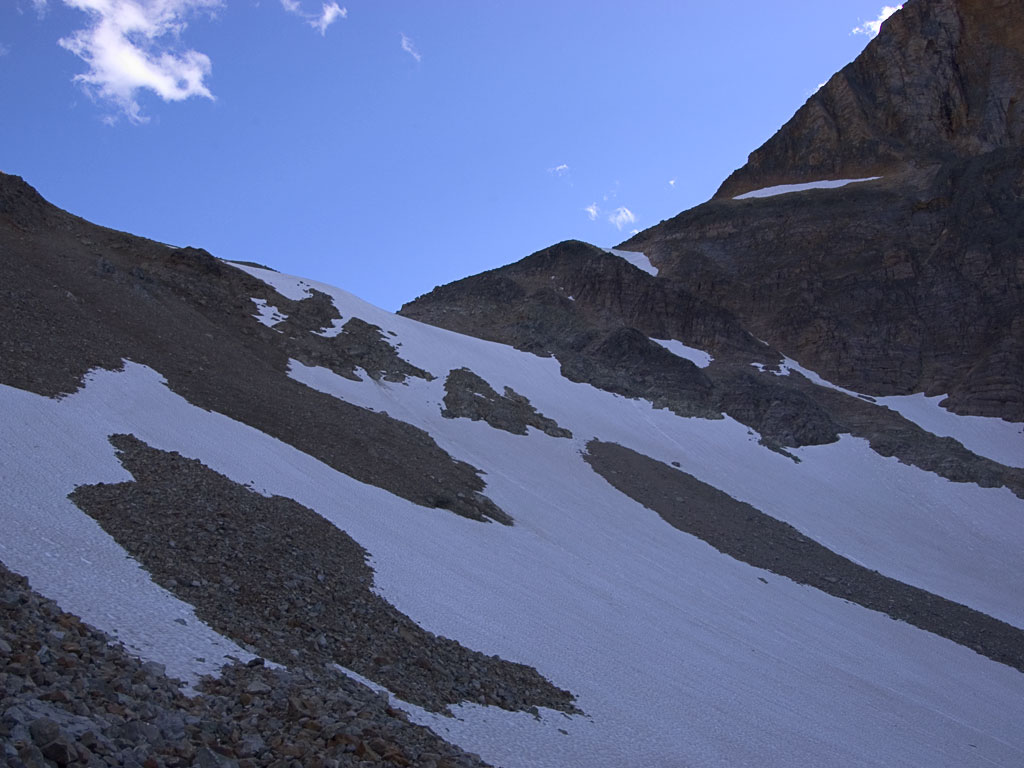
| I hiked up to just beneath the col where the climbing starts. I would liked to have gone farther but I was only in trail shoes and they don't do too well on steep snow. | 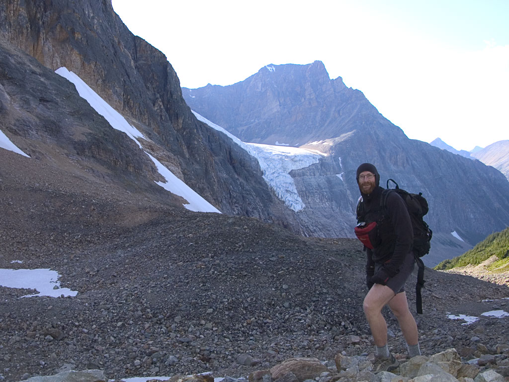 |
|
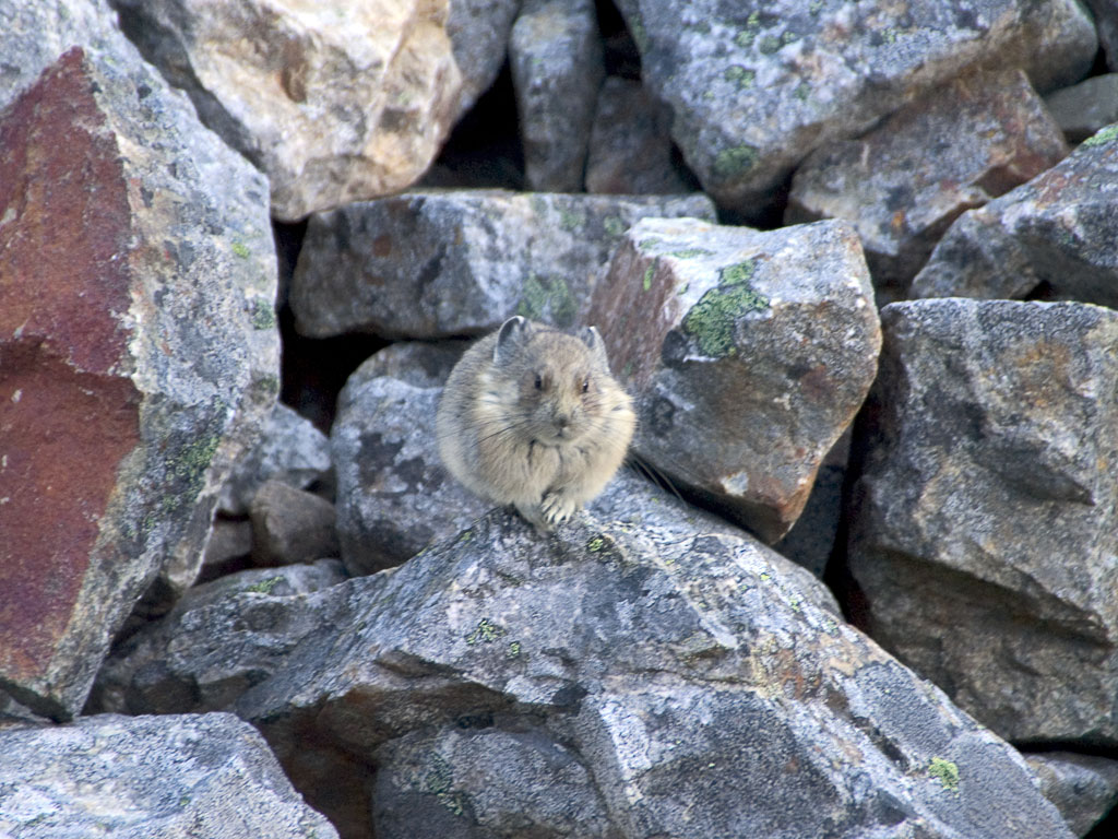 |
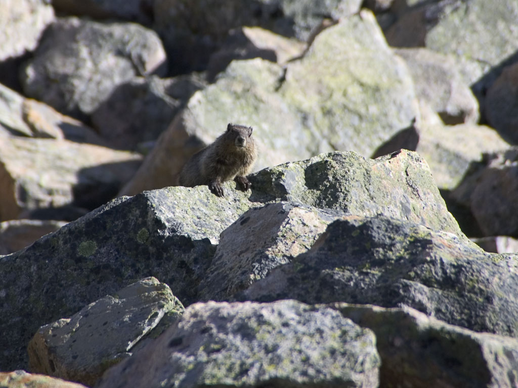
On the way down these guys posed for me... | |
 |
||
| A nifty sight on the way up; just as the Sun disappeared behind the peak I noticed the air filled with sparkles. I assume that's either airborne ice or snow blown off the peak. | 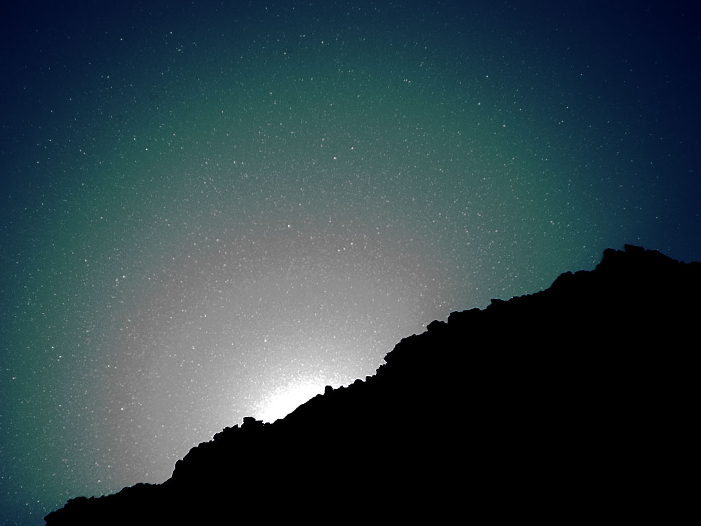 |
|
Day4: August 15
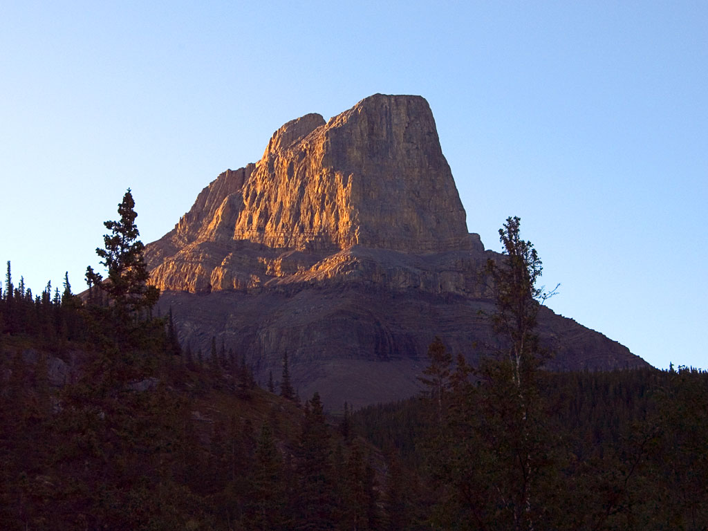 |
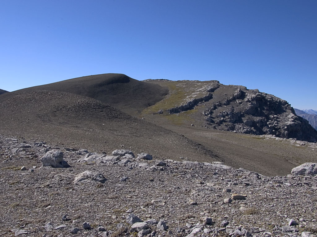
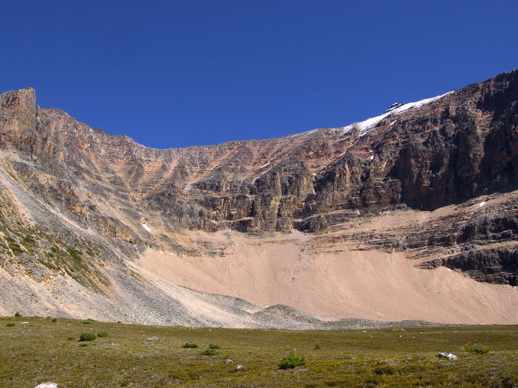
Today I got an early start to head up this awesome hunk of rock, Roche Miette. The scramble path actually leads up the ridge off frame to the left and up scree through several rock bands. | |
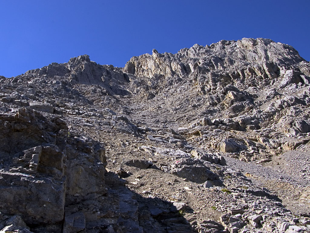
| The scrambles guidebook mentions three rock bands, the first supposedly the most difficult.
What I found was a jumbled mess of steep crap that actually gave me a good fright. |
 |
|
 |
I persisted and made it to the broad flat top although I passed on the true summit about 300 yards away -- it was an easy walk but I was seriously concerned about my descent.
I had good cell reception and made a couple of calls, kind of like "if you don't hear from me..." |
|
 |
||
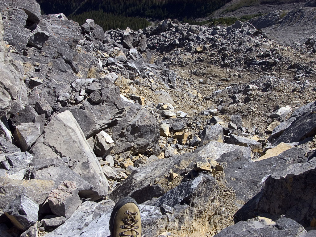 |
I took the descent about as slow as I maybe ever have in such terrain, only really losing my footing twice.
Usually in the Canadian Rockies these scree slopes are quite fun. You take a few sliding steps to get a feel for things and then just let go -- practically glissading on the pebbles. Here, I never felt safe doing that. |
|
| At least I was never alone on this peak... | 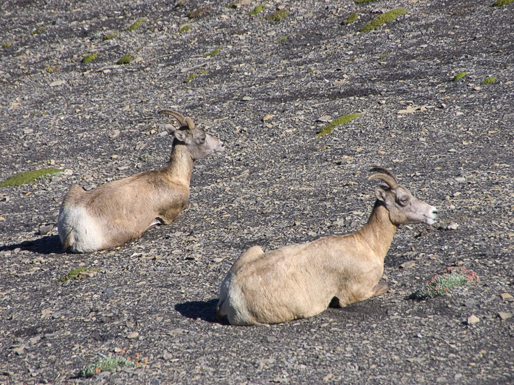 |
|
Day5: August 16
 |
Well (yes, that IS a deep subject), John didn't make it so my plan for Thursday was to do the West Ridge of Edith Cavell alone.
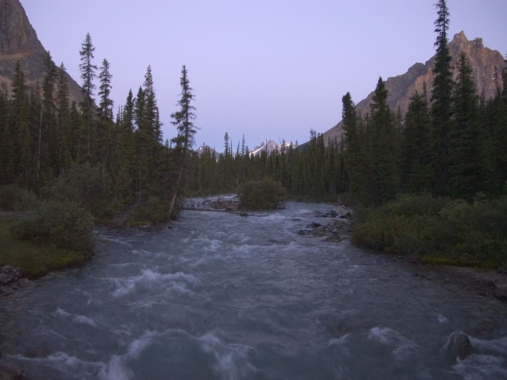
I started just before 5am hiking along the Tonkin Valley Trail by headlamp. Walking that way on an easy trail makes it easy to miss things around you, including the side trail that you need to reach your destination. By the time I took this photo, I KNEW I'd missed it and said to myself that the summit was now out of reach, a thought that would weigh psychologically on me later. |
|
| I decided to backtrack and find the correct trail and follow it at least into the cirque below the mountain. I DID find that trail and it immediately began ascending, first through lush forest transitioning eventually to sub-alpine meadows.
I stopped in the cirque and rested but an uncertain feeling kept coming to me since I'd missed the trail. The mountain didn't seem to look like the guidebook photos and I was skeptical I was even in the correct cirque or even looking at the right mountain! After a bit of a rest I decided to continue up the scree slope, if only to get a better view. Once I got going I found it hard to stop, telling myself things like "I'll stop at 8000 feet" and so on. The scrambling included a few fifth-class moves through rock bands but I kept going, finally stopping at 9500 feet. where I took these photos. |
 |
|
 |
||
 |
 |
|
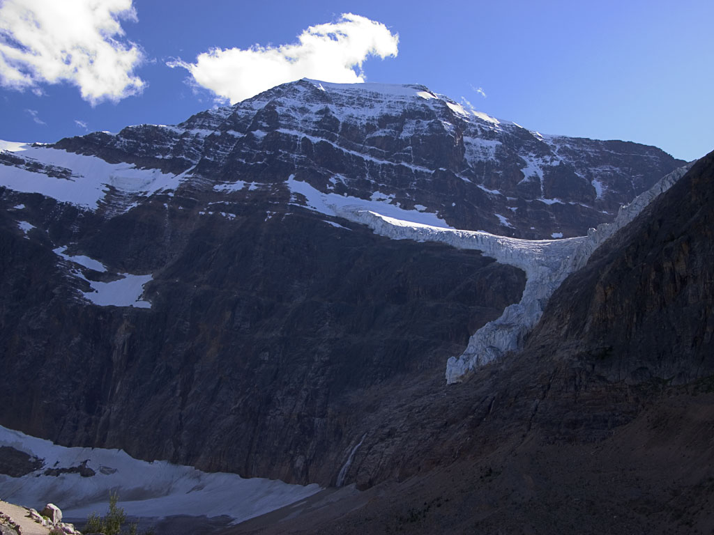
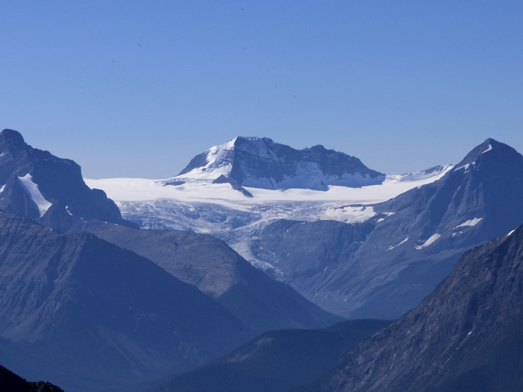
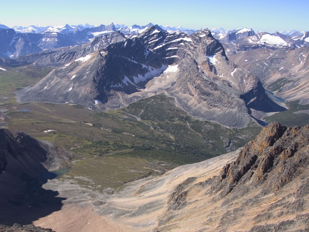
| I was generally above the surrounding mountains and that provided me with quite a vista! To the Southwest I could see a large ice field that I later determined to be the Hunter Ice Field, surrounding Mount Hunter (photo above). Looking down I could see a few tents out in the valley that was actually Verdant Pass, and Mount Chevron on the other side (upper right). Panning farther right I was impressed by a really thick-looking glacier on the side of what I believe to be Angel Peak (right). | 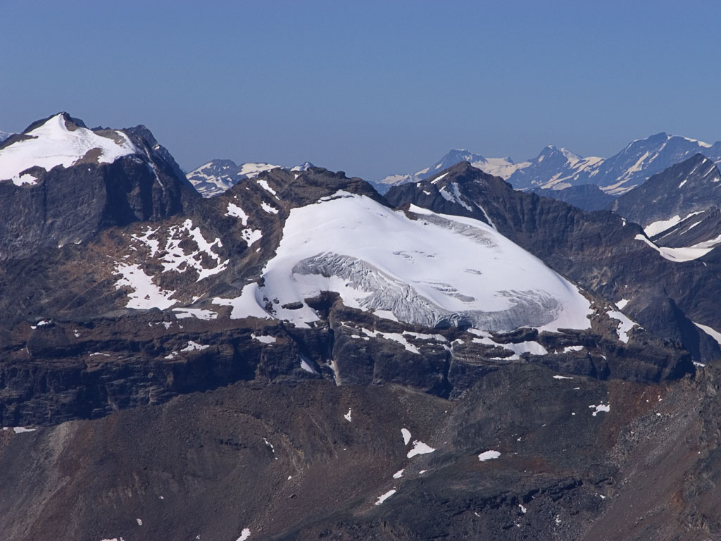 |
|
| The way down was no piece of cake but it went OK as I was able to glissade a few scree gullies and find good holds for the vertical sections. Just before I headed down I started up because it seemed the col was very close, but I told myself I wouldn't make the summit so I turned back after only about 10 feet of vertical progress. | 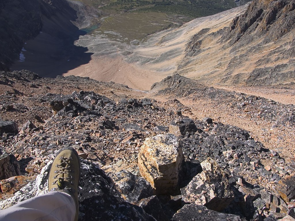 |
|
 |
The way down became really enjoyable since I now had plenty of time and the surroundings were absolutely gorgeous! Back in the cirque I walked out into meadow and reclined against a rock just soaking up the scene. This would be a GREAT area to just backpack into!
OK, So the footnote: when I got back to the hotel and looked at my guidebook and GPS waypoint from my high point I realized my mistake. I was less than 200 vertical feet from the col and the ridge from there to the top is fairly straight-forward. I was 2 hours away from my turn-around time so I could have made it! |
|
 |
 |
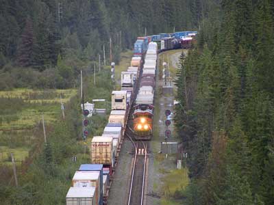 |
I spent most evenings relaxing and watching trains. Click here to check out my Railfanning around Jasper. |
Return To Previous Page
|